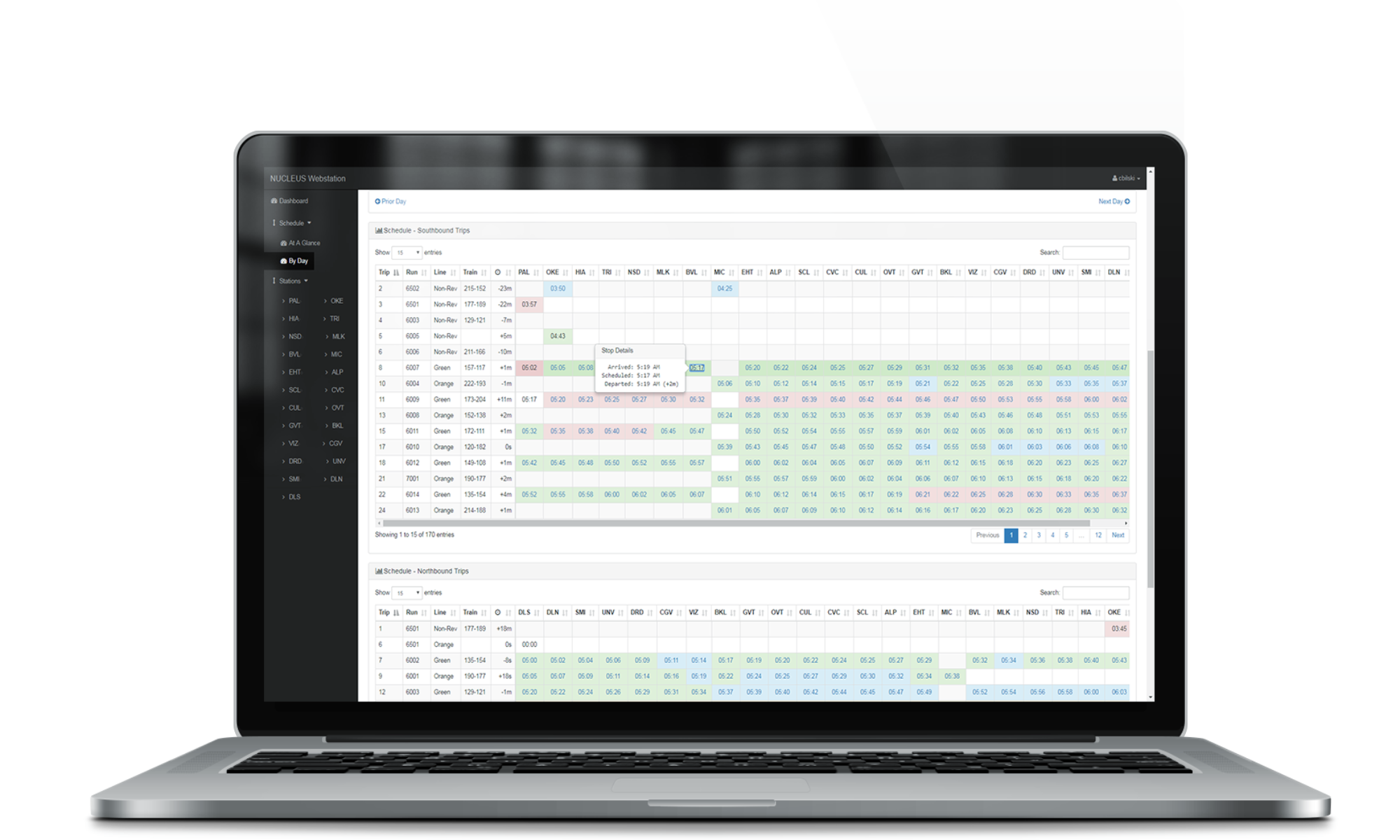
B&C Transit Inc. worked closely with Sacaramento Regional Transit staff on the development and implementation of a four-monitor control system which idenify and indicate all RTD trains on the system map. The GPS location of latitude and longitude is then sent to an SQL database, which the application reads once per second and then adjusts the train locations on the map per the boundaries of each defined area. Operators are able to assign various tracking flags to each train as they travel along the line for identification purposes.
In addition to GPS tracking, real time communication was provided to VHLC processors for actual occupancy and switch states. The system contains interfaces for assigning rail cars to trains while assigning crews to those trains along with search features that allowed operators to highlight and quickly spot trains anywhere on the line.

